Backside Common
Introduction
The photograph on this page of Backside Common by Alan Hunt as part of the Geograph project.
The Geograph project started in 2005 with the aim of publishing, organising and preserving representative images for every square kilometre of Great Britain, Ireland and the Isle of Man.

There are currently over 7.5m images from over 14,400 individuals and you can help contribute to the project by visiting https://www.geograph.org.uk
Backside Common
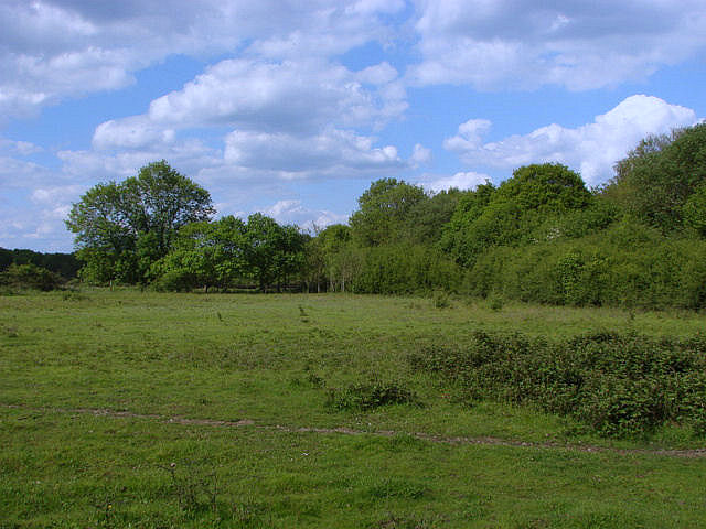
Image: © Alan Hunt Taken: 27 May 2010
The field to the south of the railway line. This field has become part of the common recently and is used for horse grazing
Images are licensed for reuse under creativecommons.org/licenses/by-sa/2.0
Image Location
Latitude
51.244915
Longitude
-0.643937