Brough: Railway, looking west
Introduction
The photograph on this page of Brough: Railway, looking west by Dr Neil Clifton as part of the Geograph project.
The Geograph project started in 2005 with the aim of publishing, organising and preserving representative images for every square kilometre of Great Britain, Ireland and the Isle of Man.

There are currently over 7.5m images from over 14,400 individuals and you can help contribute to the project by visiting https://www.geograph.org.uk
Brough: Railway, looking west
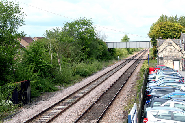
Image: © Dr Neil Clifton Taken: 17 May 2010
The railway through Brough was opened by the Hull and Selby Railway in 1840, Brough station opening at the same time. In 1872 the local company was absorbed by the North Eastern Railway, and then became part of the LNER in 1923.
Images are licensed for reuse under creativecommons.org/licenses/by-sa/2.0
Image Location
Latitude
53.727201
Longitude
-0.580232