Jefferstone Lane
Introduction
The photograph on this page of Jefferstone Lane by P L Chadwick as part of the Geograph project.
The Geograph project started in 2005 with the aim of publishing, organising and preserving representative images for every square kilometre of Great Britain, Ireland and the Isle of Man.

There are currently over 7.5m images from over 14,400 individuals and you can help contribute to the project by visiting https://www.geograph.org.uk
Jefferstone Lane
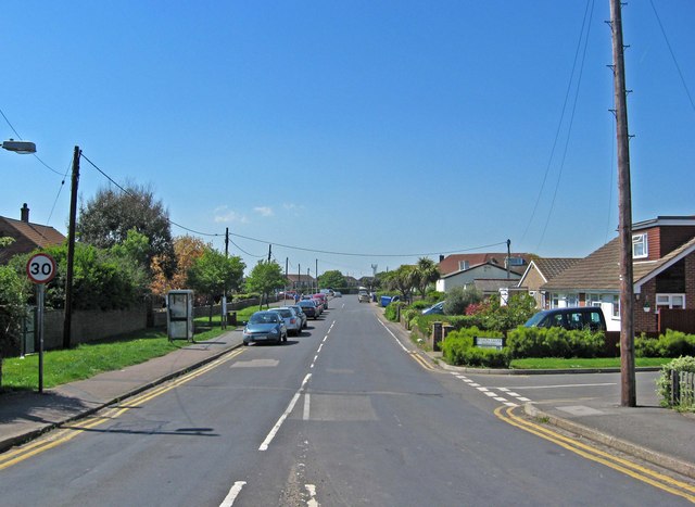
Image: © P L Chadwick Taken: 24 May 2010
Jefferstone Lane is the main road through the village. It is where most of the few facilities that the village still possesses are to be found. These include the pub, the village hall, a Chinese takeaway, newsagent/convenience store, a nursery and, just off the road, the church, post office and hairdresser. The road going off on the right is Jesson Close, named after the village's original name.
Images are licensed for reuse under creativecommons.org/licenses/by-sa/2.0
Image Location
Latitude
51.008893
Longitude
0.978169