St Mary's church, Woodleigh
Introduction
The photograph on this page of St Mary's church, Woodleigh by Derek Harper as part of the Geograph project.
The Geograph project started in 2005 with the aim of publishing, organising and preserving representative images for every square kilometre of Great Britain, Ireland and the Isle of Man.

There are currently over 7.5m images from over 14,400 individuals and you can help contribute to the project by visiting https://www.geograph.org.uk
St Mary's church, Woodleigh
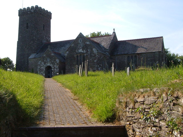
Image: © Derek Harper Taken: 16 Jun 2006
A simple church by the standards of the area, C14, with battlemented tower. Seen from the gate onto the lane through this very small village above the Avon valley in the South Hams.
Images are licensed for reuse under creativecommons.org/licenses/by-sa/2.0
Image Location


Leaflet Map data © OpenStreetMap
Latitude
50.325847
Longitude
-3.774564