Footbridge over a stream
Introduction
The photograph on this page of Footbridge over a stream by Richard Law as part of the Geograph project.
The Geograph project started in 2005 with the aim of publishing, organising and preserving representative images for every square kilometre of Great Britain, Ireland and the Isle of Man.

There are currently over 7.5m images from over 14,400 individuals and you can help contribute to the project by visiting https://www.geograph.org.uk
Footbridge over a stream
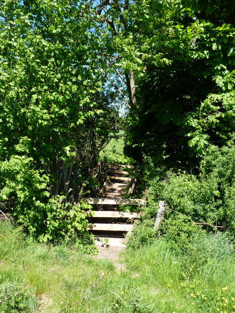
Image: © Richard Law Taken: 23 May 2010
The maps all mark this route as a bridleway, but the signage on the ground (and this footbridge) suggest it may have been downgraded to a footpath. I wasn't going to let that stop me riding a bike along it.
Images are licensed for reuse under creativecommons.org/licenses/by-sa/2.0
Image Location
Latitude
52.621321
Longitude
-2.81594