St George's church in Methwold - churchyard
Introduction
The photograph on this page of St George's church in Methwold - churchyard by Evelyn Simak as part of the Geograph project.
The Geograph project started in 2005 with the aim of publishing, organising and preserving representative images for every square kilometre of Great Britain, Ireland and the Isle of Man.

There are currently over 7.5m images from over 14,400 individuals and you can help contribute to the project by visiting https://www.geograph.org.uk
St George's church in Methwold - churchyard
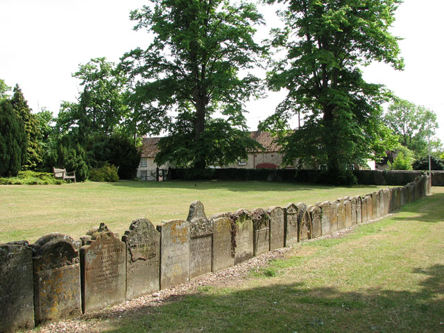
Image: © Evelyn Simak Taken: 25 May 2010
These gravestones have been removed from their original places and reset in a long back-to-back line for easier grass cutting. For a view of the church see > http://www.geograph.org.uk/photo/1879548.
Images are licensed for reuse under creativecommons.org/licenses/by-sa/2.0
Image Location
Latitude
52.52391
Longitude
0.551249