Sheepcote Lane
Introduction
The photograph on this page of Sheepcote Lane by Simon Carey as part of the Geograph project.
The Geograph project started in 2005 with the aim of publishing, organising and preserving representative images for every square kilometre of Great Britain, Ireland and the Isle of Man.

There are currently over 7.5m images from over 14,400 individuals and you can help contribute to the project by visiting https://www.geograph.org.uk
Sheepcote Lane
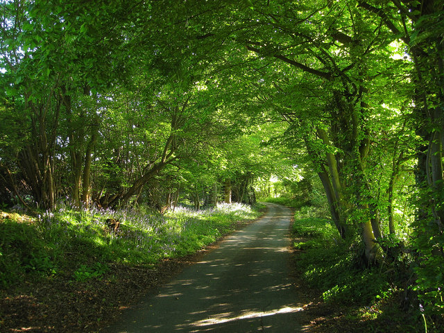
Image: © Simon Carey Taken: 22 May 2010
A section of the lane just south of Mount Pleasant Farm as it heads towards Selmeston Croft its final destination. A route of some antiquity believed to a be a track dating back to the Iron Age that linked the Downs with the pastures used for pannage in the Weald. The Romans later utilised this track to be the eastern end of their field system based around Ripe and Chalvington. Over the centuries it retained its use as a droving road and was an access route onto Dicker Common that lay to the north until enclosure in the mid 19th century. The lane is now only surfaced up to Selmeston Croft before becoming a byway to Poundfield Corner. To the north the lane's former crossing of Dicker Common is now just a bridleway.
Images are licensed for reuse under creativecommons.org/licenses/by-sa/2.0
Image Location
Latitude
50.870365
Longitude
0.176461