Footpath up Broadway Hill
Introduction
The photograph on this page of Footpath up Broadway Hill by Derek Harper as part of the Geograph project.
The Geograph project started in 2005 with the aim of publishing, organising and preserving representative images for every square kilometre of Great Britain, Ireland and the Isle of Man.

There are currently over 7.5m images from over 14,400 individuals and you can help contribute to the project by visiting https://www.geograph.org.uk
Footpath up Broadway Hill
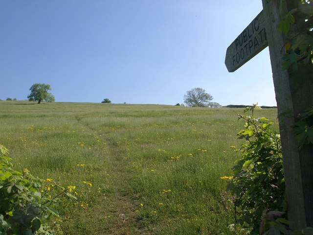
Image: © Derek Harper Taken: 22 May 2010
The sign indicates the start of footpath WS 13/59 from The Hollow, but according to the maps it should leave the lane 100 metres further east. Two more footpaths cross the field.
Images are licensed for reuse under creativecommons.org/licenses/by-sa/2.0
Image Location


Leaflet Map data © OpenStreetMap
Latitude
51.238148
Longitude
-2.719173