Gipsy Lane bus terminus, Whitestone, Nuneaton
Introduction
The photograph on this page of Gipsy Lane bus terminus, Whitestone, Nuneaton by John Brightley as part of the Geograph project.
The Geograph project started in 2005 with the aim of publishing, organising and preserving representative images for every square kilometre of Great Britain, Ireland and the Isle of Man.

There are currently over 7.5m images from over 14,400 individuals and you can help contribute to the project by visiting https://www.geograph.org.uk
Gipsy Lane bus terminus, Whitestone, Nuneaton
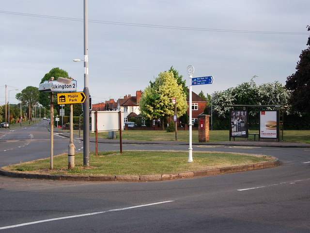
Image: © John Brightley Taken: 25 May 2010
A small green space at the junction of Bulkington Lane, Gipsy Lane, Whitestone Road (off the picture to the left), and Magyar Crescent (off the picture to the right). Photo taken at approximately 8pm on a surprisingly bright evening. For many years up to the 1970's a bus route operated by Monty Moreton terminated and turned here. The route ran from Chapel End to Gipsy Lane via Nuneaton town centre. (route information from an article entitled 'Monty's Buses' by Peter Lee on the Nuneaton Society's website) The white and blue sign (installed c.2005) indicates an off-road cycle route to Nuneaton town centre.
Images are licensed for reuse under creativecommons.org/licenses/by-sa/2.0
Image Location
Latitude
52.502423
Longitude
-1.437502