Sewall Highway, Courthouse Green
Introduction
The photograph on this page of Sewall Highway, Courthouse Green by John Brightley as part of the Geograph project.
The Geograph project started in 2005 with the aim of publishing, organising and preserving representative images for every square kilometre of Great Britain, Ireland and the Isle of Man.

There are currently over 7.5m images from over 14,400 individuals and you can help contribute to the project by visiting https://www.geograph.org.uk
Sewall Highway, Courthouse Green
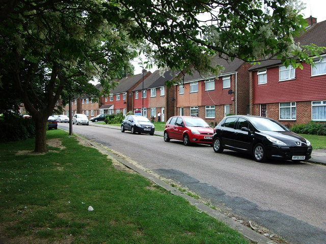
Image: © John Brightley Taken: 25 May 2010
An unusual feature in this area- a crescent built I think in the 1950's as council houses, with a very large green space between them and the main carriageway of Sewall Highway. The road in front of these houses does not have a different name -the houses are all given a Sewall Highway address.
Images are licensed for reuse under creativecommons.org/licenses/by-sa/2.0
Image Location
Latitude
52.427269
Longitude
-1.477431