Walled Road
Introduction
The photograph on this page of Walled Road by Gordon Dowie as part of the Geograph project.
The Geograph project started in 2005 with the aim of publishing, organising and preserving representative images for every square kilometre of Great Britain, Ireland and the Isle of Man.

There are currently over 7.5m images from over 14,400 individuals and you can help contribute to the project by visiting https://www.geograph.org.uk
Walled Road
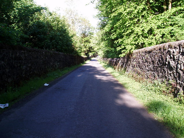
Image: © Gordon Dowie Taken: 25 May 2010
Burntshields Road with its stone walls either side as it cuts across the Glentyan Estate.
Images are licensed for reuse under creativecommons.org/licenses/by-sa/2.0
Image Location
Latitude
55.833834
Longitude
-4.559159