Old pathway to church
Introduction
The photograph on this page of Old pathway to church by Rob Farrow as part of the Geograph project.
The Geograph project started in 2005 with the aim of publishing, organising and preserving representative images for every square kilometre of Great Britain, Ireland and the Isle of Man.

There are currently over 7.5m images from over 14,400 individuals and you can help contribute to the project by visiting https://www.geograph.org.uk
Old pathway to church
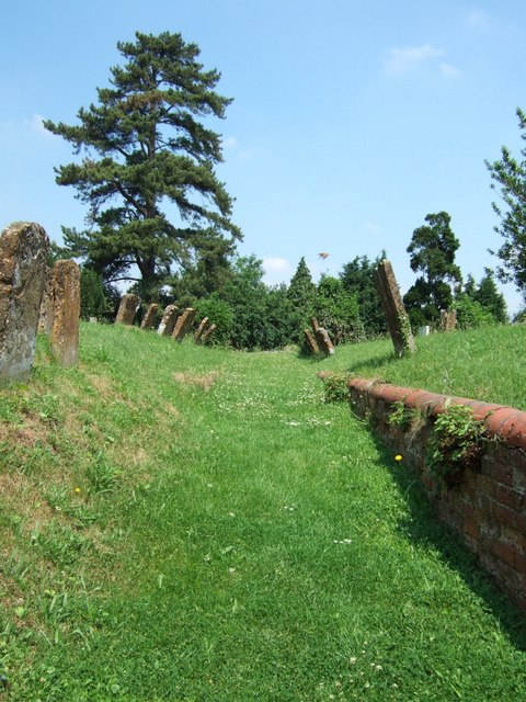
Image: © Rob Farrow Taken: 17 Jun 2006
The churchyard in Akeley is a little mysterious. The church of St.James the Apostle is no longer there and the gravestones lean in towards the sunken path. See http://www.churchplansonline.org/show_full_image.asp?resource_id=04774.tif and http://met.open.ac.uk/genuki/big/eng/BKM/Akeley/rectors.html
Images are licensed for reuse under creativecommons.org/licenses/by-sa/2.0
Image Location
Latitude
52.033197
Longitude
-0.969355