Ruislip Lido dam
Introduction
The photograph on this page of Ruislip Lido dam by Nigel Cox as part of the Geograph project.
The Geograph project started in 2005 with the aim of publishing, organising and preserving representative images for every square kilometre of Great Britain, Ireland and the Isle of Man.

There are currently over 7.5m images from over 14,400 individuals and you can help contribute to the project by visiting https://www.geograph.org.uk
Ruislip Lido dam
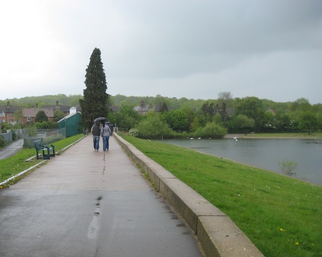
Image: © Nigel Cox Taken: 16 May 2010
A young couple enjoy a wet Sunday afternoon stroll across the dam, which was completed in 1811 to impound a supply of water for the Grand Junction Canal, later the Grand Union Canal. The hamlet of Park Hearn disappeared beneath the subsequent lake. One wonders what if anything is left of it now.
Images are licensed for reuse under creativecommons.org/licenses/by-sa/2.0
Image Location
Latitude
51.589121
Longitude
-0.43335