Dicker Field
Introduction
The photograph on this page of Dicker Field by Simon Carey as part of the Geograph project.
The Geograph project started in 2005 with the aim of publishing, organising and preserving representative images for every square kilometre of Great Britain, Ireland and the Isle of Man.

There are currently over 7.5m images from over 14,400 individuals and you can help contribute to the project by visiting https://www.geograph.org.uk
Dicker Field
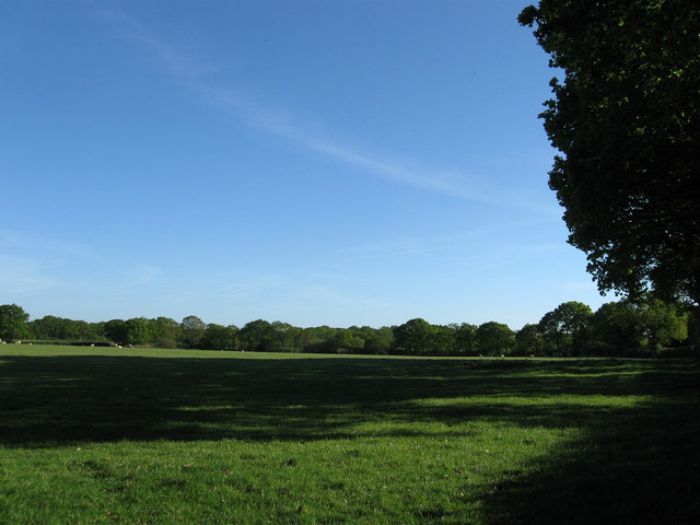
Image: © Simon Carey Taken: 22 May 2010
The name of the field according to the 1838 tithe map and given it due to its proximity to the former Dicker Common which lay across the parish border to the north of the field.
Images are licensed for reuse under creativecommons.org/licenses/by-sa/2.0
Image Location
Latitude
50.878545
Longitude
0.181534