A413 County Border
Introduction
The photograph on this page of A413 County Border by Rob Farrow as part of the Geograph project.
The Geograph project started in 2005 with the aim of publishing, organising and preserving representative images for every square kilometre of Great Britain, Ireland and the Isle of Man.

There are currently over 7.5m images from over 14,400 individuals and you can help contribute to the project by visiting https://www.geograph.org.uk
A413 County Border
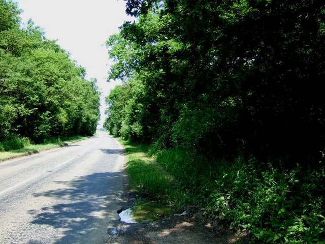
Image: © Rob Farrow Taken: 17 Jun 2006
Here the A413 passes between Shirehill Wood and Lovel Wood. Where the road exits these two woods (which you can just see) is the boundary between Buckinghamshire to the south and Northamptonshire to the north.
Images are licensed for reuse under creativecommons.org/licenses/by-sa/2.0
Image Location
Latitude
52.069256
Longitude
-0.980196