Track towards Watnall
Introduction
The photograph on this page of Track towards Watnall by Alan Murray-Rust as part of the Geograph project.
The Geograph project started in 2005 with the aim of publishing, organising and preserving representative images for every square kilometre of Great Britain, Ireland and the Isle of Man.

There are currently over 7.5m images from over 14,400 individuals and you can help contribute to the project by visiting https://www.geograph.org.uk
Track towards Watnall
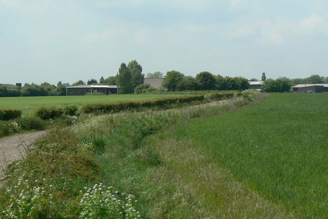
Image: © Alan Murray-Rust Taken: 21 May 2010
This is the access track to Common Farm, also a public footpath. At one time it was also followed by the colliery railway from Watnall Colliery. This provided a separate link to the Great Northern Railway at Watnall, and also to the colliery's own landsale wharf on the site now occupied by the industrial premises visible in the distance.
Images are licensed for reuse under creativecommons.org/licenses/by-sa/2.0
Image Location
Latitude
53.006209
Longitude
-1.243948