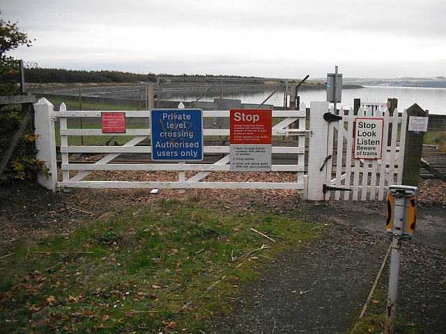
Level crossing, Culross
Introduction
The photograph on this page of Level crossing, Culross by Richard Webb as part of the Geograph project.
The Geograph project started in 2005 with the aim of publishing, organising and preserving representative images for every square kilometre of Great Britain, Ireland and the Isle of Man.
There are currently over 7.5m images from over 14,400 individuals and you can help contribute to the project by visiting https://www.geograph.org.uk

Image: © Richard Webb Taken: 15 Oct 2009
As I write the Government in London has announced 6 billion (6 x 10 to power 9) pounds of public spending cuts. This crossing is a minor illustration of the profligate wastage in the first decade of the 21st century. The blue sign has automatically been put up on every level crossing in Scotland, even though "authorised user" usually means everybody who is taking land access in a responsible manner. This crossing is even used by a cycle route and the Fife Coastal Path. Mad! It is miraculous that designated routes can pass this way, as Network Rail automatically fight every core path designation crossing a railway, and once put a spokesman up on radio who obviously did not know that Scotland was a different country to England, with different laws.

