The Belfast Road, Newtownards
Introduction
The photograph on this page of The Belfast Road, Newtownards by Albert Bridge as part of the Geograph project.
The Geograph project started in 2005 with the aim of publishing, organising and preserving representative images for every square kilometre of Great Britain, Ireland and the Isle of Man.

There are currently over 7.5m images from over 14,400 individuals and you can help contribute to the project by visiting https://www.geograph.org.uk
The Belfast Road, Newtownards
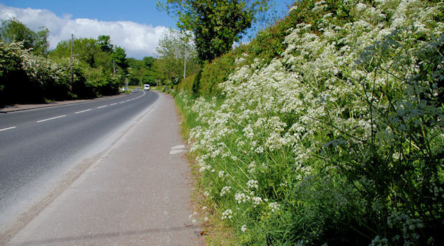
Image: © Albert Bridge Taken: 24 May 2010
Once the main road to Belfast via Bradshaw’s Brae. Replaced, more than 30 years ago, by this one Image The view is to Belfast at the start of the 40 stretch at Kiltonga.
Images are licensed for reuse under creativecommons.org/licenses/by-sa/2.0
Image Location
Latitude
54.598964
Longitude
-5.716736