Nelson Row
Introduction
The photograph on this page of Nelson Row by Robin Webster as part of the Geograph project.
The Geograph project started in 2005 with the aim of publishing, organising and preserving representative images for every square kilometre of Great Britain, Ireland and the Isle of Man.

There are currently over 7.5m images from over 14,400 individuals and you can help contribute to the project by visiting https://www.geograph.org.uk
Nelson Row
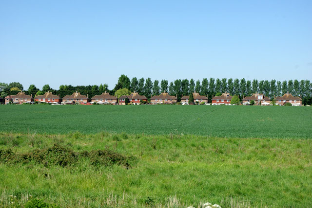
Image: © Robin Webster Taken: 24 May 2010
These were built about 1938 as the beginning of a large-scale development. The Second World War and presumably post-war planning stopped further development. Nelson Row runs parallel with Ford Road, which is beyond the houses. Viewed from the Arun river wall.
Images are licensed for reuse under creativecommons.org/licenses/by-sa/2.0
Image Location
Latitude
50.819158
Longitude
-0.579927