Disused Railway, Walkden Road Bridge
Introduction
The photograph on this page of Disused Railway, Walkden Road Bridge by David Dixon as part of the Geograph project.
The Geograph project started in 2005 with the aim of publishing, organising and preserving representative images for every square kilometre of Great Britain, Ireland and the Isle of Man.

There are currently over 7.5m images from over 14,400 individuals and you can help contribute to the project by visiting https://www.geograph.org.uk
Disused Railway, Walkden Road Bridge
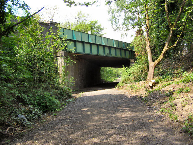
Image: © David Dixon Taken: 23 May 2010
The last colliery in the area to close was Mosley Common in 1968 and remarkably little evidence remains in Walkden of this once mighty industry. The routes of some colliery railways, such as this one passing under Walkden Road, have been transformed into walking and cycle routes and are part of the Salford Loop Line network of cycleways.
Images are licensed for reuse under creativecommons.org/licenses/by-sa/2.0
Image Location
Latitude
53.518047
Longitude
-2.396501