Signs, Bangor
Introduction
The photograph on this page of Signs, Bangor by Rossographer as part of the Geograph project.
The Geograph project started in 2005 with the aim of publishing, organising and preserving representative images for every square kilometre of Great Britain, Ireland and the Isle of Man.

There are currently over 7.5m images from over 14,400 individuals and you can help contribute to the project by visiting https://www.geograph.org.uk
Signs, Bangor
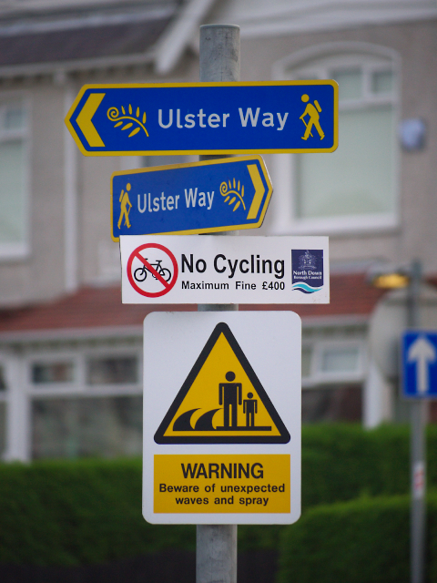
Image: © Rossographer Taken: 23 May 2010
Signs on the Seacliff Road at the western end of Ballyholme Beach. This is part of the route for the Ulster Way http://www.walkni.com/ulsterway/ - enjoy yourself but don't dare bring your bike and watch you don't get swept into the sea..........
Images are licensed for reuse under creativecommons.org/licenses/by-sa/2.0
Image Location
Latitude
54.666483
Longitude
-5.652956