Towards the Afon Arth
Introduction
The photograph on this page of Towards the Afon Arth by David Purchase as part of the Geograph project.
The Geograph project started in 2005 with the aim of publishing, organising and preserving representative images for every square kilometre of Great Britain, Ireland and the Isle of Man.

There are currently over 7.5m images from over 14,400 individuals and you can help contribute to the project by visiting https://www.geograph.org.uk
Towards the Afon Arth
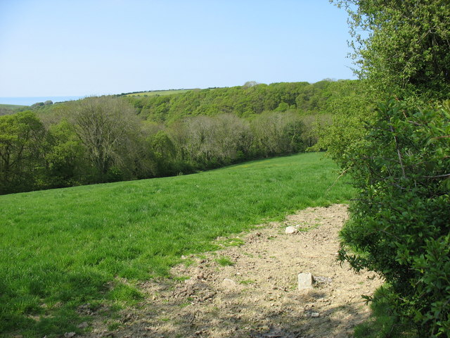
Image: © David Purchase Taken: 22 May 2010
The Afon Arth flows through this grid square, across the centre of this photo, in a deep cut valley. Two tributaries join it, one of which flows through the trees on the left. The valley sides are densely tree-covered, but the higher ground is arable land.
Images are licensed for reuse under creativecommons.org/licenses/by-sa/2.0
Image Location
Latitude
52.237223
Longitude
-4.212744