The moat at Bewcastle (2)
Introduction
The photograph on this page of The moat at Bewcastle (2) by Mike Quinn as part of the Geograph project.
The Geograph project started in 2005 with the aim of publishing, organising and preserving representative images for every square kilometre of Great Britain, Ireland and the Isle of Man.

There are currently over 7.5m images from over 14,400 individuals and you can help contribute to the project by visiting https://www.geograph.org.uk
The moat at Bewcastle (2)
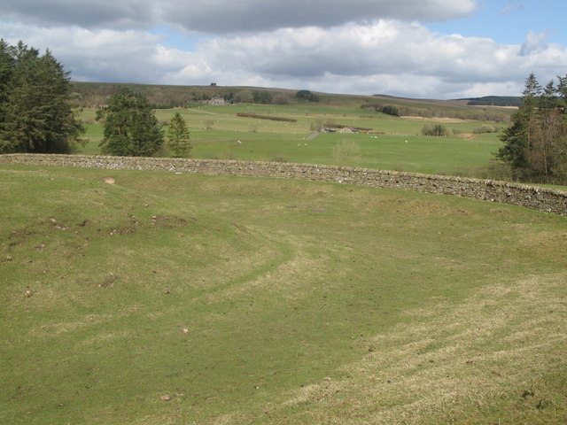
Image: © Mike Quinn Taken: 20 Apr 2010
See Image The buildings in the middle distance (centre) are those at Fell View. The farm in the distance (half left) is Image
Images are licensed for reuse under creativecommons.org/licenses/by-sa/2.0
Image Location


Leaflet Map data © OpenStreetMap
Latitude
55.064776
Longitude
-2.680918