Steps to Stave Hill
Introduction
The photograph on this page of Steps to Stave Hill by Stephen Craven as part of the Geograph project.
The Geograph project started in 2005 with the aim of publishing, organising and preserving representative images for every square kilometre of Great Britain, Ireland and the Isle of Man.

There are currently over 7.5m images from over 14,400 individuals and you can help contribute to the project by visiting https://www.geograph.org.uk
Steps to Stave Hill
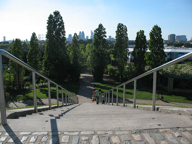
Image: © Stephen Craven Taken: 22 May 2010
Looking down from the top of the mound Image It is probably by design rather than coincidence that the view down the steps and the avenue beyond points towards the centre of London, with the St Mary Axe or "Gherkin" tower and the newly-completed Heron Tower as landmarks.
Images are licensed for reuse under creativecommons.org/licenses/by-sa/2.0
Image Location
Latitude
51.501029
Longitude
-0.040585