Footpath beside Port Rd East, Barry, the A4050
Introduction
The photograph on this page of Footpath beside Port Rd East, Barry, the A4050 by John Lord as part of the Geograph project.
The Geograph project started in 2005 with the aim of publishing, organising and preserving representative images for every square kilometre of Great Britain, Ireland and the Isle of Man.

There are currently over 7.5m images from over 14,400 individuals and you can help contribute to the project by visiting https://www.geograph.org.uk
Footpath beside Port Rd East, Barry, the A4050
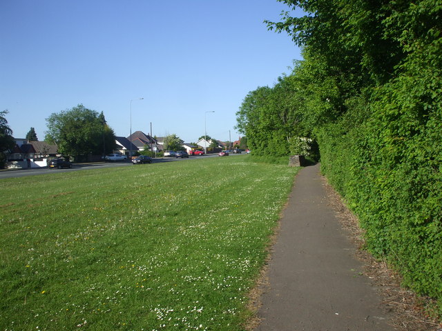
Image: © John Lord Taken: 23 May 2010
The rectangular stone structure at the point where the path goes among the bushes is one of a series at irregular intervals along the path. I've no idea what they are for.
Images are licensed for reuse under creativecommons.org/licenses/by-sa/2.0
Image Location
Latitude
51.419111
Longitude
-3.282303