Buildings southeast of Fen End Farm
Introduction
The photograph on this page of Buildings southeast of Fen End Farm by Robin Stott as part of the Geograph project.
The Geograph project started in 2005 with the aim of publishing, organising and preserving representative images for every square kilometre of Great Britain, Ireland and the Isle of Man.

There are currently over 7.5m images from over 14,400 individuals and you can help contribute to the project by visiting https://www.geograph.org.uk
Buildings southeast of Fen End Farm
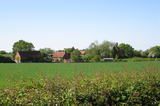
Image: © Robin Stott Taken: 22 May 2010
Seen over the thorn hedge by the dead-straight Oldwich Lane East. These are features characteristic of the Arden pastures landscape type south of Balsall Common. Here we are on the edge of it, with signs of the Ancient Arden landscape around Fen End to the west.
Images are licensed for reuse under creativecommons.org/licenses/by-sa/2.0
Image Location


Leaflet Map data © OpenStreetMap
Latitude
52.367728
Longitude
-1.66965