Lane near Blackpark Farm
Introduction
The photograph on this page of Lane near Blackpark Farm by Espresso Addict as part of the Geograph project.
The Geograph project started in 2005 with the aim of publishing, organising and preserving representative images for every square kilometre of Great Britain, Ireland and the Isle of Man.

There are currently over 7.5m images from over 14,400 individuals and you can help contribute to the project by visiting https://www.geograph.org.uk
Lane near Blackpark Farm
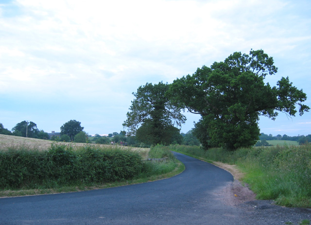
Image: © Espresso Addict Taken: 16 Jun 2006
One of the lanes from Whitchurch to Wrenbury. The lane takes a 90 degree turn north round a field boundary at this point, and a bridleway continues the line of the road eastwards (out of view on right) towards Steel's Rough Plantation. This particular lane has recently been resurfaced, making a change from the potholes of the surrounding lanes. The building whose chimneys are visible on the left is Blackpark Farm, the only habitation in this gridsquare
Images are licensed for reuse under creativecommons.org/licenses/by-sa/2.0
Image Location


Leaflet Map data © OpenStreetMap
Latitude
52.983529
Longitude
-2.637456