Footpath to Wilstead from Houghton Conquest, Beds
Introduction
The photograph on this page of Footpath to Wilstead from Houghton Conquest, Beds by Rodney Burton as part of the Geograph project.
The Geograph project started in 2005 with the aim of publishing, organising and preserving representative images for every square kilometre of Great Britain, Ireland and the Isle of Man.

There are currently over 7.5m images from over 14,400 individuals and you can help contribute to the project by visiting https://www.geograph.org.uk
Footpath to Wilstead from Houghton Conquest, Beds
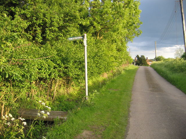
Image: © Rodney Burton Taken: 30 May 2006
– view along Chapel End Lane towards Hill Farm.
Images are licensed for reuse under creativecommons.org/licenses/by-sa/2.0
Image Location
Latitude
52.067167
Longitude
-0.464091