Oss Mere, looking south
Introduction
The photograph on this page of Oss Mere, looking south by Espresso Addict as part of the Geograph project.
The Geograph project started in 2005 with the aim of publishing, organising and preserving representative images for every square kilometre of Great Britain, Ireland and the Isle of Man.

There are currently over 7.5m images from over 14,400 individuals and you can help contribute to the project by visiting https://www.geograph.org.uk
Oss Mere, looking south
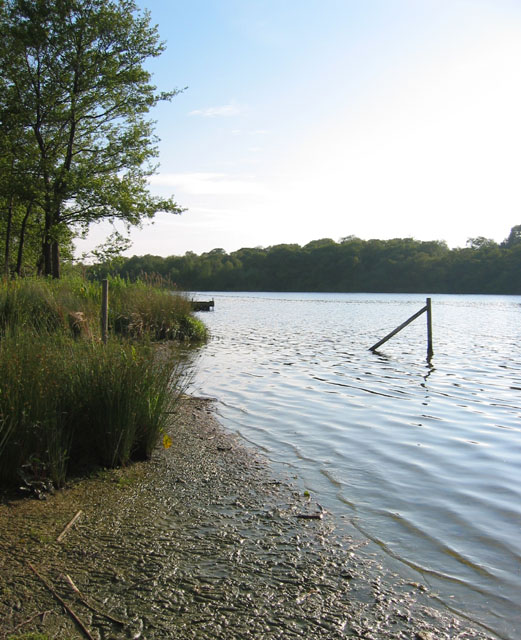
Image: © Espresso Addict Taken: 16 Jun 2006
Oss Mere is one of the larger meres in the area. Its west bank is wooded, and much of the east bank is lined with trees. The lake is popular with anglers, and is managed as a private fishing area. The pier visible on the left is for fishing
Images are licensed for reuse under creativecommons.org/licenses/by-sa/2.0
Image Location


Leaflet Map data © OpenStreetMap
Latitude
52.988866
Longitude
-2.647963