Ash, Surrey
Introduction
The photograph on this page of Ash, Surrey by Alan Hunt as part of the Geograph project.
The Geograph project started in 2005 with the aim of publishing, organising and preserving representative images for every square kilometre of Great Britain, Ireland and the Isle of Man.

There are currently over 7.5m images from over 14,400 individuals and you can help contribute to the project by visiting https://www.geograph.org.uk
Ash, Surrey
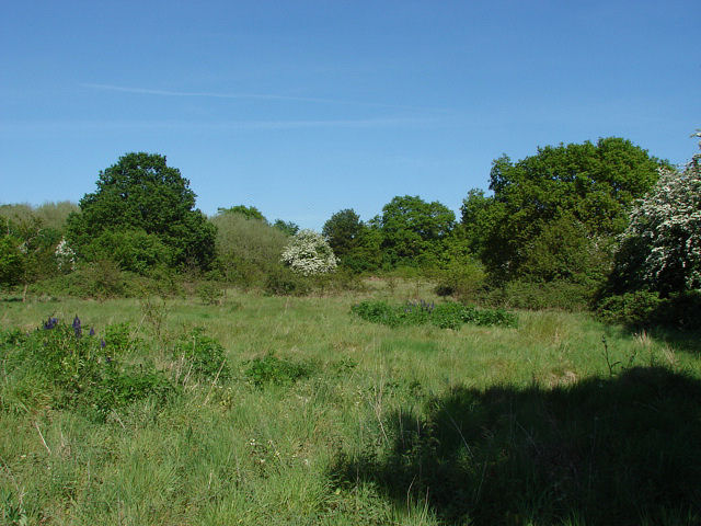
Image: © Alan Hunt Taken: 22 May 2010
Scrubland south of the Guildford Road. This area, long used by dog walkers, will probably be developed for housing in the near future.
Images are licensed for reuse under creativecommons.org/licenses/by-sa/2.0
Image Location
Latitude
51.250147
Longitude
-0.708979