Wokingham, Goatley Way
Introduction
The photograph on this page of Wokingham, Goatley Way by Roger Templeman as part of the Geograph project.
The Geograph project started in 2005 with the aim of publishing, organising and preserving representative images for every square kilometre of Great Britain, Ireland and the Isle of Man.

There are currently over 7.5m images from over 14,400 individuals and you can help contribute to the project by visiting https://www.geograph.org.uk
Wokingham, Goatley Way
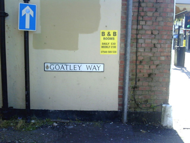
Image: © Roger Templeman Taken: 22 May 2010
Side of Beijing Chinese Takeaway, which was formerly a bank (#35 Peach Street). There is a 1964 Ordnance Survey cut mark benchmark on the angle of the building (4th brick above guardstone) levelled at 71.0245m above Newlyn datum. More information on this and nearby benchmarks can be found on the Bench Mark Database record http://www.bench-marks.org.uk/bm34474.
Images are licensed for reuse under creativecommons.org/licenses/by-sa/2.0
Image Location
Latitude
51.410685
Longitude
-0.831571