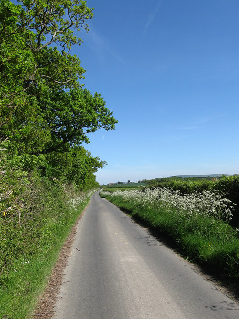
Langtye Lane
Introduction
The photograph on this page of Langtye Lane by Simon Carey as part of the Geograph project.
The Geograph project started in 2005 with the aim of publishing, organising and preserving representative images for every square kilometre of Great Britain, Ireland and the Isle of Man.
There are currently over 7.5m images from over 14,400 individuals and you can help contribute to the project by visiting https://www.geograph.org.uk

Image: © Simon Carey Taken: 22 May 2010
A narrow lane that runs between Mays Corner and the crossroads south of Ripe. The lane is quite ancient and was definitely in use during Roman times as it forms the southern boundary of the Roman field system based around Ripe and Chalvington. There is some evidence to suggest that Romans themselves utilised an even older Iron Age track when creating this road. The hedgerow to the left also marks the southern boundary of the parishes of Ripe and Chalvington another indication of antiquity.

