Wokingham, Methodist Church benchmark
Introduction
The photograph on this page of Wokingham, Methodist Church benchmark by Roger Templeman as part of the Geograph project.
The Geograph project started in 2005 with the aim of publishing, organising and preserving representative images for every square kilometre of Great Britain, Ireland and the Isle of Man.

There are currently over 7.5m images from over 14,400 individuals and you can help contribute to the project by visiting https://www.geograph.org.uk
Wokingham, Methodist Church benchmark
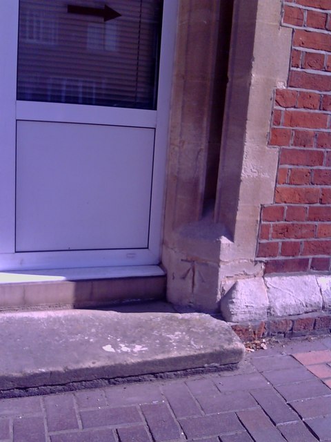
Image: © Roger Templeman Taken: 22 May 2010
1964 Ordnance Survey cut mark benchmark on former doorway of the Methodist Church on Rose Street, levelled at 71.2561m above Newlyn datum. Additional information about this and neighbouring benchmarks may be found in Bench Mark Database record http://www.bench-marks.org.uk/bm27562.
Images are licensed for reuse under creativecommons.org/licenses/by-sa/2.0
Image Location
Latitude
51.411328
Longitude
-0.832849