United Reformed Church Teignmouth
Introduction
The photograph on this page of United Reformed Church Teignmouth by John Firth as part of the Geograph project.
The Geograph project started in 2005 with the aim of publishing, organising and preserving representative images for every square kilometre of Great Britain, Ireland and the Isle of Man.

There are currently over 7.5m images from over 14,400 individuals and you can help contribute to the project by visiting https://www.geograph.org.uk
United Reformed Church Teignmouth
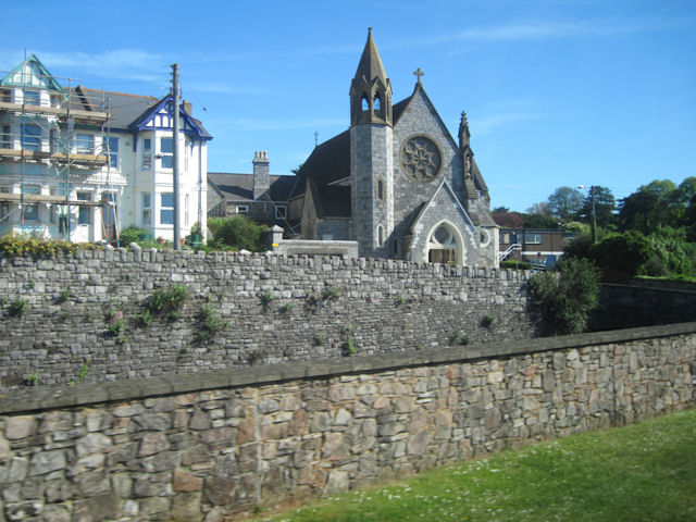
Image: © John Firth Taken: 15 May 2010
Taken from close to the station. Between the walls in the foreground lies the railway line.
Images are licensed for reuse under creativecommons.org/licenses/by-sa/2.0
Image Location
Latitude
50.548985
Longitude
-3.492716