Tor Hill
Introduction
The photograph on this page of Tor Hill by Sharon Loxton as part of the Geograph project.
The Geograph project started in 2005 with the aim of publishing, organising and preserving representative images for every square kilometre of Great Britain, Ireland and the Isle of Man.

There are currently over 7.5m images from over 14,400 individuals and you can help contribute to the project by visiting https://www.geograph.org.uk
Tor Hill
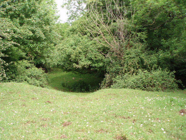
Image: © Sharon Loxton Taken: 4 Jun 2006
This depression in the ground is the result of an old, small limestone quarry. A much larger quarry (Torhill - also disused now) lies to the south. The vegetation has now totally regrown leaving an interesting feature in the landscape.
Images are licensed for reuse under creativecommons.org/licenses/by-sa/2.0
Image Location


Leaflet Map data © OpenStreetMap
Latitude
51.207895
Longitude
-2.632668