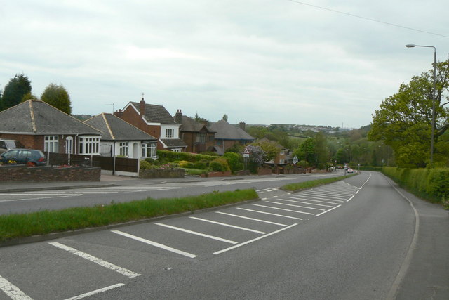
Nottingham Road at Woodlinkin
Introduction
The photograph on this page of Nottingham Road at Woodlinkin by Alan Murray-Rust as part of the Geograph project.
The Geograph project started in 2005 with the aim of publishing, organising and preserving representative images for every square kilometre of Great Britain, Ireland and the Isle of Man.
There are currently over 7.5m images from over 14,400 individuals and you can help contribute to the project by visiting https://www.geograph.org.uk

Image: © Alan Murray-Rust Taken: 19 May 2010
Originally a country lane linking Codnor with Aldercar, it was rebuilt as a dual carriageway during the late 1930s as unemployment relief as part of a scheme to bypass Langley Mill and Heanor. The full potential was not realised until the completion of the Langley Mill and Eastwood and Kimberley bypasses in the 1970s and 80s. This section is a fine example of 1930s ribbon development, entirely dependent of the use of the still relatively uncommon motor car - there has never been a bus service along here.
Image Location


