Sandilands Tunnel
Introduction
The photograph on this page of Sandilands Tunnel by Malc McDonald as part of the Geograph project.
The Geograph project started in 2005 with the aim of publishing, organising and preserving representative images for every square kilometre of Great Britain, Ireland and the Isle of Man.

There are currently over 7.5m images from over 14,400 individuals and you can help contribute to the project by visiting https://www.geograph.org.uk
Sandilands Tunnel
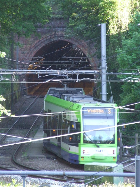
Image: © Malc McDonald Taken: 22 May 2010
A tram leaving Sandilands tunnel, and taking the sharp left bend to Sandilands tram stop. The tunnel previously carried the Woodside to Sanderstead railway line, which carried straight on here rather than bending sharply to head into Croydon. The railway line closed in 1983, the tram system opened 17 years later.
Images are licensed for reuse under creativecommons.org/licenses/by-sa/2.0
Image Location
Latitude
51.373825
Longitude
-0.075763