Vanguard Way
Introduction
The photograph on this page of Vanguard Way by Malc McDonald as part of the Geograph project.
The Geograph project started in 2005 with the aim of publishing, organising and preserving representative images for every square kilometre of Great Britain, Ireland and the Isle of Man.

There are currently over 7.5m images from over 14,400 individuals and you can help contribute to the project by visiting https://www.geograph.org.uk
Vanguard Way
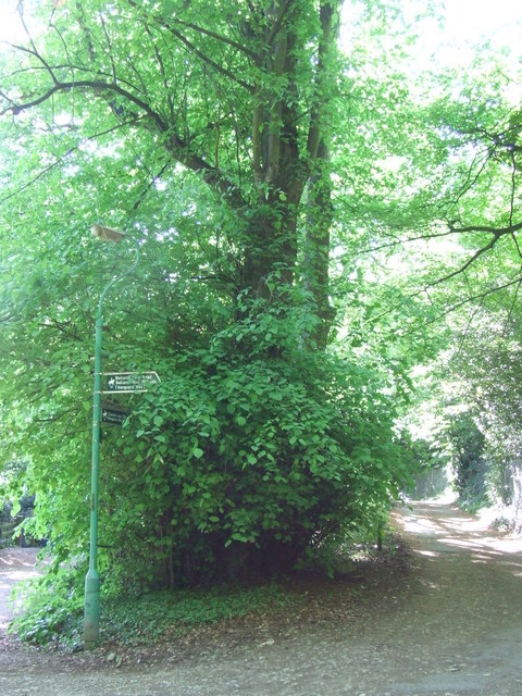
Image: © Malc McDonald Taken: 22 May 2010
The Vanguard Way is a 66-mile footpath from Croydon to Newhaven, crossing the North Downs, The Weald and the South Downs. This photo shows the path as it is joined by another short bridleway, close to Croham Valley Road.
Images are licensed for reuse under creativecommons.org/licenses/by-sa/2.0
Image Location
Latitude
51.358169
Longitude
-0.075271