Toat Farm.
Introduction
The photograph on this page of Toat Farm. by Colin Smith as part of the Geograph project.
The Geograph project started in 2005 with the aim of publishing, organising and preserving representative images for every square kilometre of Great Britain, Ireland and the Isle of Man.

There are currently over 7.5m images from over 14,400 individuals and you can help contribute to the project by visiting https://www.geograph.org.uk
Toat Farm.
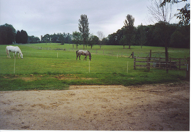
Image: © Colin Smith Taken: 4 Jun 2006
Horses graze below Toat Hill. In the distance is Samuel Drinkwater's folly, the Toat Monument. It is on private land, so is unaccessible.
Images are licensed for reuse under creativecommons.org/licenses/by-sa/2.0
Image Location
Latitude
50.984313
Longitude
-0.511211