Old Whitgiftian Association grounds
Introduction
The photograph on this page of Old Whitgiftian Association grounds by Malc McDonald as part of the Geograph project.
The Geograph project started in 2005 with the aim of publishing, organising and preserving representative images for every square kilometre of Great Britain, Ireland and the Isle of Man.

There are currently over 7.5m images from over 14,400 individuals and you can help contribute to the project by visiting https://www.geograph.org.uk
Old Whitgiftian Association grounds
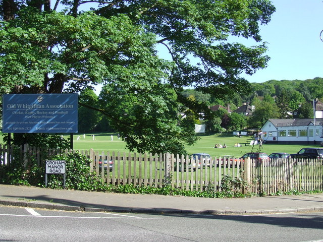
Image: © Malc McDonald Taken: 22 May 2010
Playing fields belonging to the Old Whitgiftian Association. Whitgift School is an independent school founded in 1596.
Images are licensed for reuse under creativecommons.org/licenses/by-sa/2.0
Image Location
Latitude
51.360306
Longitude
-0.084948