NISA local, Rotherhithe
Introduction
The photograph on this page of NISA local, Rotherhithe by Stephen Craven as part of the Geograph project.
The Geograph project started in 2005 with the aim of publishing, organising and preserving representative images for every square kilometre of Great Britain, Ireland and the Isle of Man.

There are currently over 7.5m images from over 14,400 individuals and you can help contribute to the project by visiting https://www.geograph.org.uk
NISA local, Rotherhithe
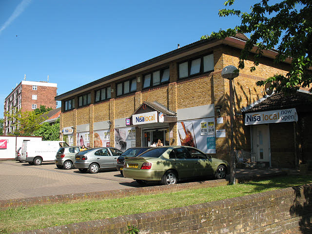
Image: © Stephen Craven Taken: 22 May 2010
Signs on this convenience store suggest it was newly opened in 2010. Presumably it competes for trade with nearby Londis Image It lies between Brunel Road (this side) and Albion Street; the Rotherhithe Road Tunnel runs under the car park.
Images are licensed for reuse under creativecommons.org/licenses/by-sa/2.0
Image Location
Latitude
51.500757
Longitude
-0.051259