The Dyffryn
Introduction
The photograph on this page of The Dyffryn by Jonathan Billinger as part of the Geograph project.
The Geograph project started in 2005 with the aim of publishing, organising and preserving representative images for every square kilometre of Great Britain, Ireland and the Isle of Man.

There are currently over 7.5m images from over 14,400 individuals and you can help contribute to the project by visiting https://www.geograph.org.uk
The Dyffryn
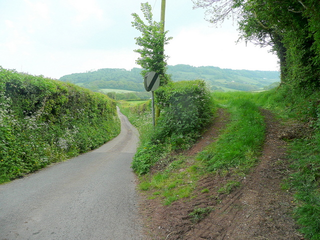
Image: © Jonathan Billinger Taken: 21 May 2010
The name of the lane from Llangwm south-east to Newchurch. The wooded hill at Gaer-fawr lies beyond.
Images are licensed for reuse under creativecommons.org/licenses/by-sa/2.0
Image Location


Leaflet Map data © OpenStreetMap
Latitude
51.693219
Longitude
-2.827929