Track to irrigation ponds
Introduction
The photograph on this page of Track to irrigation ponds by Jonathan Billinger as part of the Geograph project.
The Geograph project started in 2005 with the aim of publishing, organising and preserving representative images for every square kilometre of Great Britain, Ireland and the Isle of Man.

There are currently over 7.5m images from over 14,400 individuals and you can help contribute to the project by visiting https://www.geograph.org.uk
Track to irrigation ponds
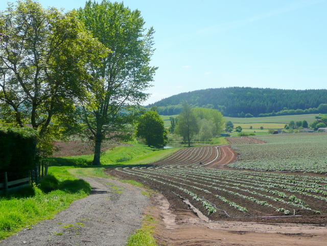
Image: © Jonathan Billinger Taken: 22 May 2010
The watering is essential for a thirsty crop like potatoes. View south-west from Bury Hill with Penyard Hill in the distance.
Images are licensed for reuse under creativecommons.org/licenses/by-sa/2.0
Image Location
Latitude
51.909586
Longitude
-2.524008