St Oswalds Parish Church, Hotham
Introduction
The photograph on this page of St Oswalds Parish Church, Hotham by Roger Gilbertson as part of the Geograph project.
The Geograph project started in 2005 with the aim of publishing, organising and preserving representative images for every square kilometre of Great Britain, Ireland and the Isle of Man.

There are currently over 7.5m images from over 14,400 individuals and you can help contribute to the project by visiting https://www.geograph.org.uk
St Oswalds Parish Church, Hotham
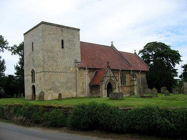
Image: © Roger Gilbertson Taken: 16 Jun 2006
The board outside the Church says "St. Oswald's", not St. John's as in some other geographs. Perhaps the next Geographer could clarify the matter.
Images are licensed for reuse under creativecommons.org/licenses/by-sa/2.0
Image Location
Latitude
53.798234
Longitude
-0.644184