Ruislip Gardens: The Bell
Introduction
The photograph on this page of Ruislip Gardens: The Bell by Nigel Cox as part of the Geograph project.
The Geograph project started in 2005 with the aim of publishing, organising and preserving representative images for every square kilometre of Great Britain, Ireland and the Isle of Man.

There are currently over 7.5m images from over 14,400 individuals and you can help contribute to the project by visiting https://www.geograph.org.uk
Ruislip Gardens: The Bell
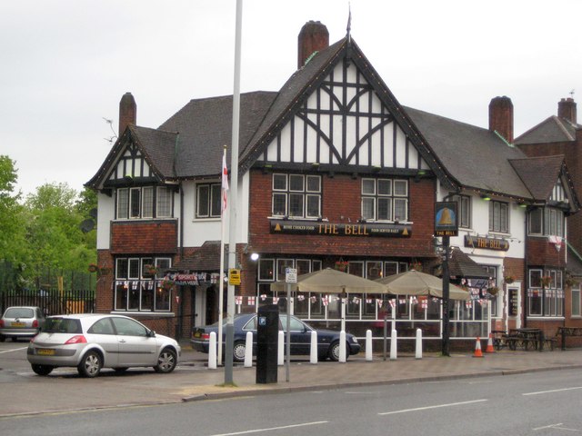
Image: © Nigel Cox Taken: 16 May 2010
The Bell is contemporary with the 1930s housing developments in Ruislip Manor, and is the only pub for some distance around. It is on West End Road immediately north of Image It has a good website, telling you what's going on, here http://www.thebellruislip.co.uk/default.html
Images are licensed for reuse under creativecommons.org/licenses/by-sa/2.0
Image Location
Latitude
51.562329
Longitude
-0.413641