View SSW towards Carrigs River and the Mournes from Ballyginny
Introduction
The photograph on this page of View SSW towards Carrigs River and the Mournes from Ballyginny by Eric Jones as part of the Geograph project.
The Geograph project started in 2005 with the aim of publishing, organising and preserving representative images for every square kilometre of Great Britain, Ireland and the Isle of Man.

There are currently over 7.5m images from over 14,400 individuals and you can help contribute to the project by visiting https://www.geograph.org.uk
View SSW towards Carrigs River and the Mournes from Ballyginny
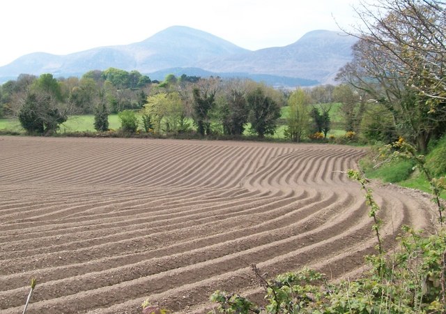
Image: © Eric Jones Taken: 13 May 2010
The line of trees at the end of the potato field marks the position of the Carrigs River.
Images are licensed for reuse under creativecommons.org/licenses/by-sa/2.0
Image Location
Latitude
54.239378
Longitude
-5.900638