The worst day I ever went Geographing (contd page 94)
Introduction
The photograph on this page of The worst day I ever went Geographing (contd page 94) by Basher Eyre as part of the Geograph project.
The Geograph project started in 2005 with the aim of publishing, organising and preserving representative images for every square kilometre of Great Britain, Ireland and the Isle of Man.

There are currently over 7.5m images from over 14,400 individuals and you can help contribute to the project by visiting https://www.geograph.org.uk
The worst day I ever went Geographing (contd page 94)
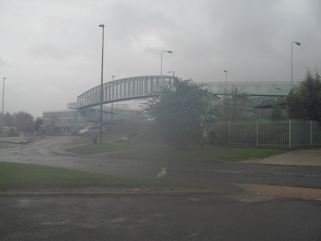
Image: © Basher Eyre Taken: 2 May 2010
Taken at the junction of Manor Road and the A27, I was so wet both my cameras packed up; and when I eventually did get on the train at Lancing I dripped a trail of water roughly equivalent to the River Arun down the aisle.
Images are licensed for reuse under creativecommons.org/licenses/by-sa/2.0
Image Location
Latitude
50.837332
Longitude
-0.329275