Rail and Water at St Blazey Middle Crossing
Introduction
The photograph on this page of Rail and Water at St Blazey Middle Crossing by roger geach as part of the Geograph project.
The Geograph project started in 2005 with the aim of publishing, organising and preserving representative images for every square kilometre of Great Britain, Ireland and the Isle of Man.

There are currently over 7.5m images from over 14,400 individuals and you can help contribute to the project by visiting https://www.geograph.org.uk
Rail and Water at St Blazey Middle Crossing
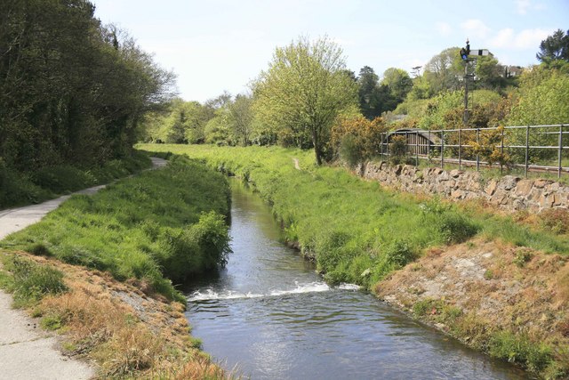
Image: © roger geach Taken: 17 May 2010
Looking towards Par from St Blazey Middle crossing the single track Par to Newquay railway is on the right. This stream was many years ago once white with clay pollution but now is clear. A path follows the stream towards Par.
Images are licensed for reuse under creativecommons.org/licenses/by-sa/2.0
Image Location
Latitude
50.356528
Longitude
-4.71093