River Clyde
Introduction
The photograph on this page of River Clyde by Maigheach-gheal as part of the Geograph project.
The Geograph project started in 2005 with the aim of publishing, organising and preserving representative images for every square kilometre of Great Britain, Ireland and the Isle of Man.

There are currently over 7.5m images from over 14,400 individuals and you can help contribute to the project by visiting https://www.geograph.org.uk
River Clyde
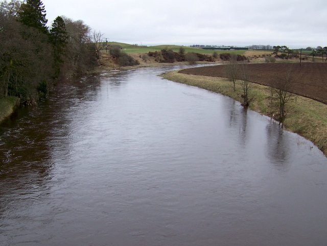
Image: © Maigheach-gheal Taken: 5 Apr 2010
Looking upstream from Hyndford Bridge. The Clyde rises in the Lowther Hill and after 106 miles flows into the sea.
Images are licensed for reuse under creativecommons.org/licenses/by-sa/2.0
Image Location


Leaflet Map data © OpenStreetMap
Latitude
55.655328
Longitude
-3.725335