The Castleward Road, Strangford
Introduction
The photograph on this page of The Castleward Road, Strangford by Albert Bridge as part of the Geograph project.
The Geograph project started in 2005 with the aim of publishing, organising and preserving representative images for every square kilometre of Great Britain, Ireland and the Isle of Man.

There are currently over 7.5m images from over 14,400 individuals and you can help contribute to the project by visiting https://www.geograph.org.uk
The Castleward Road, Strangford
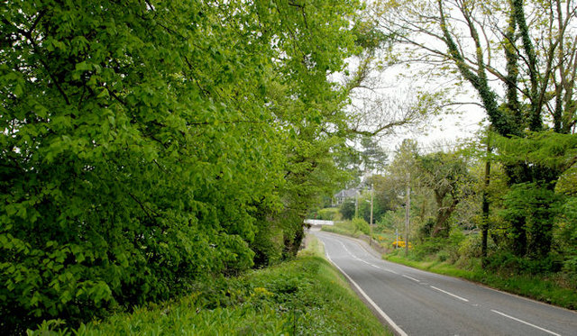
Image: © Albert Bridge Taken: 20 May 2010
See Image The continuation of the Downpatrick Road as it passes the entrance to the Castleward estate. The bridge, towards the lower right, is here Image
Images are licensed for reuse under creativecommons.org/licenses/by-sa/2.0
Image Location
Latitude
54.363921
Longitude
-5.566075